Current Temp. 52°
Discover
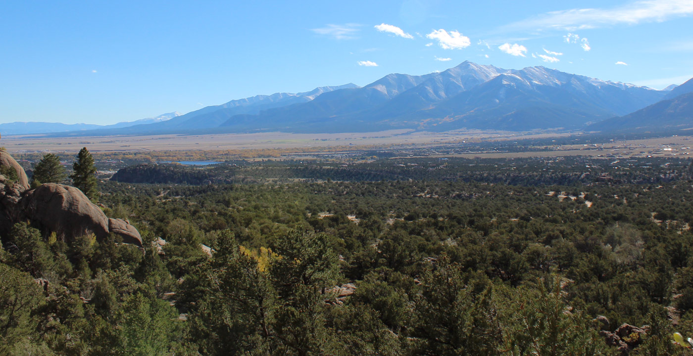
Tabeguache Peak (14,155’) is the 27th tallest peak in Colorado. It is pronounced “tab-uh-wash”.
This peak lives in the shadow of the more popular Mt. Shavano, as it is situated 0.5 miles to the northwest and not visible from Salida or the Arkansas River Valley.
The common hiking route to Tabeguache Peak is via the Mt. Shavano Trail. At the Mt. Shavano summit, one can continue on the ridge for the remaining 0.5 miles, which can give the feeling that Tabeguache Peak is an “after thought” after the long climb of Mt. Shavano.
Other trails to Tabeguache Peak have been closed due to safety precautions and erosion problems. The Jennings Creek route has been closed for many years and some have gotten into trouble by mistakenly dipping down into McCoy Gulch to the south, which leads to a narrow and hazardous canyon. One’s best bet to summit Tabeguache Peak is to hike the standard route, Mt. Shavano Trail.
Directions to the trailhead: From Poncha Springs, travel north on U.S. Highway 285 for approximately one mile and turn left (west) on County Road 140. (From Buena Vista, travel 21 miles south and turn right.) Travel 1.6 miles on CR 140, then turn right on County Road 250. Travel on CR 250 for four miles and turn left on CR 252. Then travel on CR 252 for 2.8 miles to the Mt. Shavano and Tabeguache Peak Trailhead. The hike initially begins on the Colorado Trail before the Mt. Shavano Trail turns off to the left.


Get Deals, Discounts, Information and more, in your inbox!
 Printable Version