Current Temp. 52°
Discover
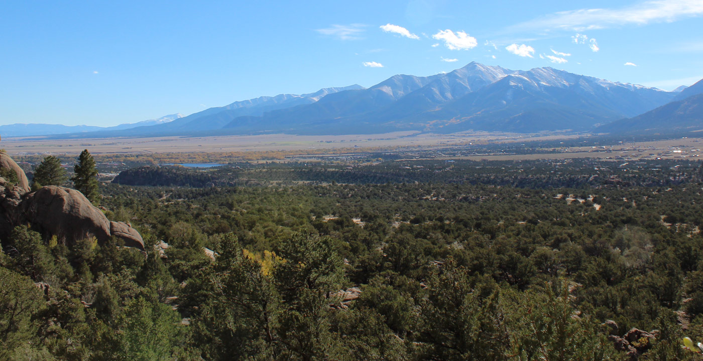
Mt. Yale, altitude 14,198 feet, is the 21st highest mountain in Colorado. It is part of the Collegiate Peaks in the Sawatch Range, named along with Mt. Princeton, Mt. Columbia, Mt. Harvard and Mt. Oxford.
Southeast of the mountain and near Nathrop, Mt. Yale’s pointed southeast face displays itself prominently like a beacon. In much of the town of Buena Vista, Deer Mountain sits in front of it, largely obstructing any view of the summit, but as one travels a short distance north of town, Mt. Yale’s handsome and curved east face comes into full view.
Mt. Yale is a popular 14er climb in the region, partly because of its well-marked trail and the main trailhead (the Denny Creek Trailhead) can be accessed via paved roads.
Directions: From the traffic light in Buena Vista, travel west on Chaffee County Road 306 toward Cottonwood Pass. The trailhead parking lot is on the right at approximately 12 miles. The trail begins at approximately 10,000 feet and it is five miles (one way) to the summit. Although no 14er climb should be considered “easy”, many regard the hike of Mt. Yale to be an enjoyable “walk up” climb. On the highest ridge, some “scrambling” is required on large rocks to the sizable summit.


Get Deals, Discounts, Information and more, in your inbox!
 Printable Version