Current Temp. 52°
Discover
Although no one knows for sure, some believe Missouri Mountain (14,067’) was named by miners from Missouri who lived and worked down in Clear Creek Canyon.
This peak is sometimes climbed as a combination with neighboring Mt. Belford and Mt. Oxford. Accessed from the Missouri Gulch Trail, the mountain is situated to the west of the Missorui Gulch. Above timberline, in a beautiful grassy meadow, a trail spurs to the right toward Missouri Mountain, while the other trail spurs left up Mt. Belford.
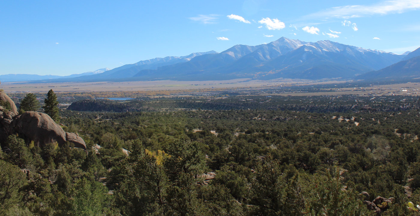
On a clear day on the summit of Missouri Mountain, one has a grand view of Huron Peak and Cloyses Lake to the west. Also, far in the distance, the Elk Range, Maroon Bells and Snowmass Mountain (peaks toward Aspen, Colorado) can be seen afar. Of course, the grand view of peak and peak of the Sawatch Range can be enjoyed from north to south.
Directions: From Leadville, travel south on Highway 24 (as if traveling to Buena Vista). Turn right (west) on Chaffee County Road 390 at Clear Creek Reservoir and travel 7.5 miles to the trailhead parking lot on the left. This is a dirt road that sometimes has potholes and washboard areas, but it can be driven with an ordinary passenger vehicle.


Get Deals, Discounts, Information and more, in your inbox!
 Printable Version